
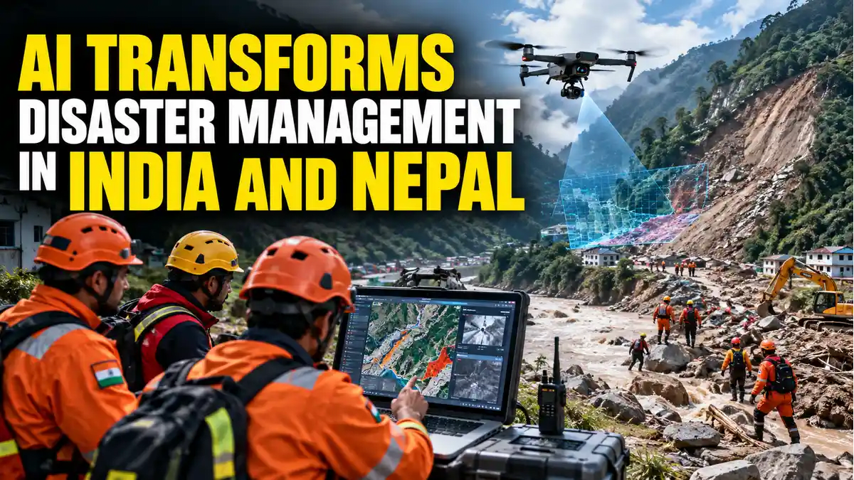

Disaster risk reduction in South Asia is undergoing an operational shift. Rather than relying solely on post-event relief or conventional weather forecasting, disaster management authorities across India and Nepal are integrating artificial intelligence, satellite analytics, and machine learning into the active disaster lifecycle. With climate change intensifying cloudbursts, glacial lake outbursts, and landslides across the fragile Hindu Kush Himalaya, emergency management has evolved into a high-stakes data-and-speed challenge. In acute crises where emergency response teams must process thousands of satellite tiles, sensor feeds, radar sweeps, and crowdsourced distress calls, AI models are compressing hours of analytical manual labor into actionable, sub-minute intelligence.
India's Operational Stack: Augmenting Numerical Weather Models
India is not approaching AI deployment from a theoretical baseline. In official parliamentary submissions, the Ministry of Earth Sciences (MoES) confirmed that AI, Machine Learning (ML), and Big Data analytics are actively integrated into national forecasting workflows. Rather than replacing atmospheric scientists, machine learning models are synthesized within existing numerical weather prediction architectures:
- NCMRWF & IMD Integration: The National Centre for Medium Range Weather Forecasting incorporates AI/ML forecast guidance directly into Earth-system modeling, ensemble prediction suites, and high-performance computing clusters operated by the India Meteorological Department (IMD).
- Hyperlocal Urban Flash-Flood Guidance: AI architectures trained on decadal precipitation anomalies and topographic elevation maps have enabled hyperlocal rainfall forecasting for dense municipal hubs like Mumbai.
- Hydrological Modeling Platforms: Systems such as Google's Flood Hub synthesize river gauge metrics, terrain elevation, and upstream rainfall data to provide multi-day predictive inundation advisories to vulnerable riparian populations.
"The emerging paradigm is not artificial intelligence replacing meteorologists, but AI augmenting supercomputing infrastructure to compress the latency between raw atmospheric data ingestion and administrative decision-making."
Translating Forecasts into Actionable Risk Maps
A forecast warning of heavy to very heavy rainfall offers limited tactical value to emergency commanders unless translated into spatial vulnerability. Disaster managers require deterministic answers to operational questions: Which transit corridors will submerge? Which retaining walls risk structural collapse? Where must National Disaster Response Force (NDRF) battalions preposition heavy earth-movers?
By ingesting high-resolution digital elevation models (DEMs), drainage infrastructure registries, soil moisture indices, and real-time radar, AI generates dynamic spatial risk maps. In India, this actionable intelligence interfaces with the National Disaster Management Authority's (NDMA) SACHET platform, which disseminates automated, geo-targeted, multilingual early warnings via cellular SMS, web push notifications, and mobile apps to ensure civilians evacuate before inundation occurs.
The Nepal Precedent: Real-Time Rescue and Damage Assessment
The operational scope of AI extends well beyond pre-event warnings. Recent catastrophic flash floods and landslides across Nepal underscored how machine learning aids active search, rescue, and post-impact humanitarian logistics:
- Crowdsourced Casualty Cross-Referencing: Technologists in Nepal deployed an AI-driven triage portal that parsed natural-language missing-persons reports from social channels and cross-referenced them against state hospital admission registries and casualty lists.
- Thermal Drone Reconnaissance: First responders deployed unmanned aerial vehicles (UAVs) running onboard computer vision models trained to differentiate human-shaped thermal heat signatures from surrounding mud and rock debris, directing rescue workers straight to trapped survivors.
- Automated Structural Damage Mapping: Open-access post-disaster satellite imagery was processed through deep-learning models to catalog destroyed bridges, fractured road links, and collapsed buildings within hours of cloud cover clearing.
Transboundary Realities and the Limits of Pure AI
Because major Himalayan river basins cross national frontiers, disaster resilience requires regional coordination. Research organizations like the International Centre for Integrated Mountain Development (ICIMOD) continue to urge standardized, transboundary data sharing across the Hindu Kush Himalaya, especially in the wake of transboundary events like the Rasuwa-Gyirong floods. India and Nepal maintain joint institutional mechanisms for shared-river flood forecasting, yet technology alone faces physical limitations.
Crucially, AI cannot function as an autonomous crystal ball. If upstream telemetry sensors wash away or suffer communications latency—as occurred when a Himalayan flood surged 36 kilometers in 40 minutes—the predictive capability of any algorithmic model drops precipitously. Machine learning is only as dependable as the density of physical rain gauges, doppler weather radars, redundant satellite links, and ground personnel tasked with executing evacuations. When integrated responsibly, AI does not eliminate natural disasters, but it buys frontline agencies the most critical commodity in an emergency: time.
Frequently Asked Questions
Ketan
adminPassionate journalist and digital news editor committed to delivering accurate, timely, and fact-checked news.
Related Articles


Latest Articles

Trump, Tech Giants Ink Voluntary AI Pact Amid Glob...
Oct 01, 2026
Khanna Targets 'Recursive' AI with Landmark Safety...
Oct 01, 2026
Election Commission–SIR Row: INDIA Bloc Announces...
Oct 01, 2026
WHO Unveils Critical Global Guidance to Combat Hea...
Oct 01, 2026
Comments (0)
Leave a Comment
No comments yet. Be the first to comment!